On a map, Costa Rica looks small. On the road, between mountain passes, coffee valleys and the tracks leading to the lodges, distances are measured in hours rather than kilometers. Choosing how to get around is already shaping your trip. Here are the possible solutions, their advantages and their limits, as we recommend them to our travelers.
This is the freest solution: setting off early to see birds, stopping at a viewpoint, reaching a little-known beach. It suits travelers who enjoy driving and taking their time.
An SUV is enough for most itineraries, including Monteverde, the Nicoya Peninsula and the Osa Peninsula: some roads are dirt or gravel tracks, where ground clearance matters more than four-wheel drive. A 4×4 may be justified for isolated tracks, especially in the rainy season.
We work with Adobe and Mapache, two Costa Rican rental companies: delivery at the airport or hotel, an additional driver free of charge and Wi-Fi on board. The rate varies according to the type of vehicle and the season. See our car rental offer and our self-drive tours, with itinerary, lodging and car booked.
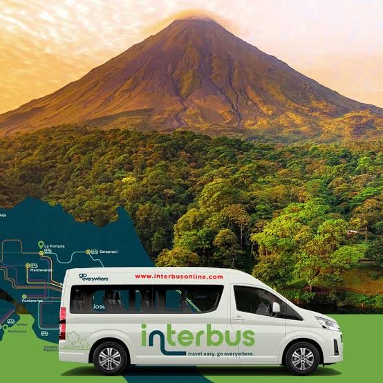
For those who prefer not to drive, shuttles link the main destinations, hotel to hotel. Shared shuttles follow fixed schedules; private shuttles leave at the time that suits you and can stop along the way. Allow about 60 to USD 95 per person per trip by shuttle, depending on the distance. See our guide traveling without a car.
This is the most comfortable solution: a driver-guide accompanies you for all or part of the trip, drives, comments on the route, spots wildlife and adapts the stops. It suits families, seniors and those who want to enjoy the scenery without worrying about the road. See our tours with a driver-guide.
Regional airlines link San José to Tortuguero, Quepos, Drake, Puerto Jiménez, Golfito, Tamarindo or Nosara, in small planes. Flights last 30 minutes to an hour and avoid long days on the road, especially toward the south of the country. The baggage allowance is reduced: check it when booking. Flights may be delayed by the weather; keep a margin before an international flight.
No road leads to the village: you arrive by boat on the canals, or by plane. From San José, the lodges organize the trip by bus and then boat; from other regions, we book a private shuttle to the boat landing. See our Tortuguero guide.
A shuttle takes you to Sierpe, then a boat goes down the river and along the coast to Drake, where the hotel welcomes you on the beach.
Rather than driving around the lake, the “jeep-boat-jeep” transfer crosses Lake Arenal by boat, with a view of the volcano, then climbs to Monteverde on the mountain road: about three hours, and a beautiful crossing on clear days.
From Puntarenas, ferries reach Paquera (for Montezuma and Santa Teresa) and Playa Naranjo, in just over an hour. In high season and on weekends, the wait can be long with a car: arrive early.
The bus network covers the whole country at low prices, but journeys are long, with connections, and San José’s terminals require vigilance with luggage. It suits travelers with time on their hands. In town, official taxis are red and must use their meter (la maría); ride-hailing apps work in the San José area.
Here are estimated driving times from San José, without stops; they are orders of magnitude that vary with traffic, weather and roadworks.
| Destination | Estimated time |
|---|---|
| La Fortuna (Arenal) | 3 h to 3 h 30 |
| Monteverde | 3 h 30 to 4 h |
| Manuel Antonio | 3 h to 3 h 30 |
| Tamarindo | 4 h 30 to 5 h |
| Puerto Viejo de Talamanca | 4 h to 4 h 30 |
| Uvita | 3 h 30 to 4 h |
| Santa Teresa (with the ferry) | 5 h to 6 h |
We advise not to exceed four to five hours of driving per day, to enjoy each stop.
No, an SUV is enough for most itineraries, including Monteverde, Nicoya and Osa.
Yes, thanks to shuttles, domestic flights and driver-guides.
Yes: shuttles, airport transfers, car rental and domestic flights are part of our tailor-made trips. Let’s talk about your project.

Learn more
Let’s talk about your trip
Your dates, your wishes, the pace that suits you: a travel consultant based in Costa Rica will suggest a tailor-made itinerary within 48 business hours.


